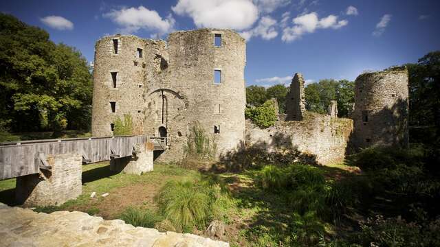





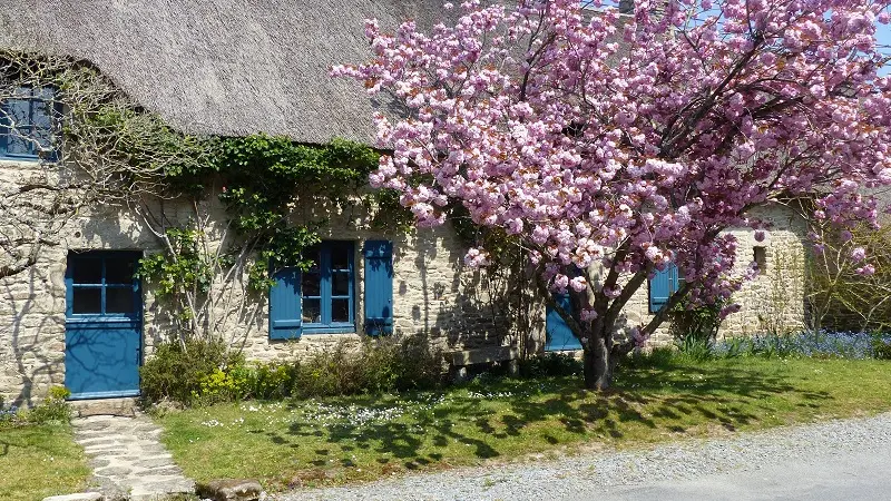
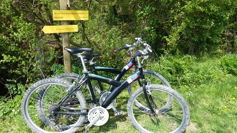
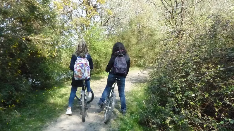
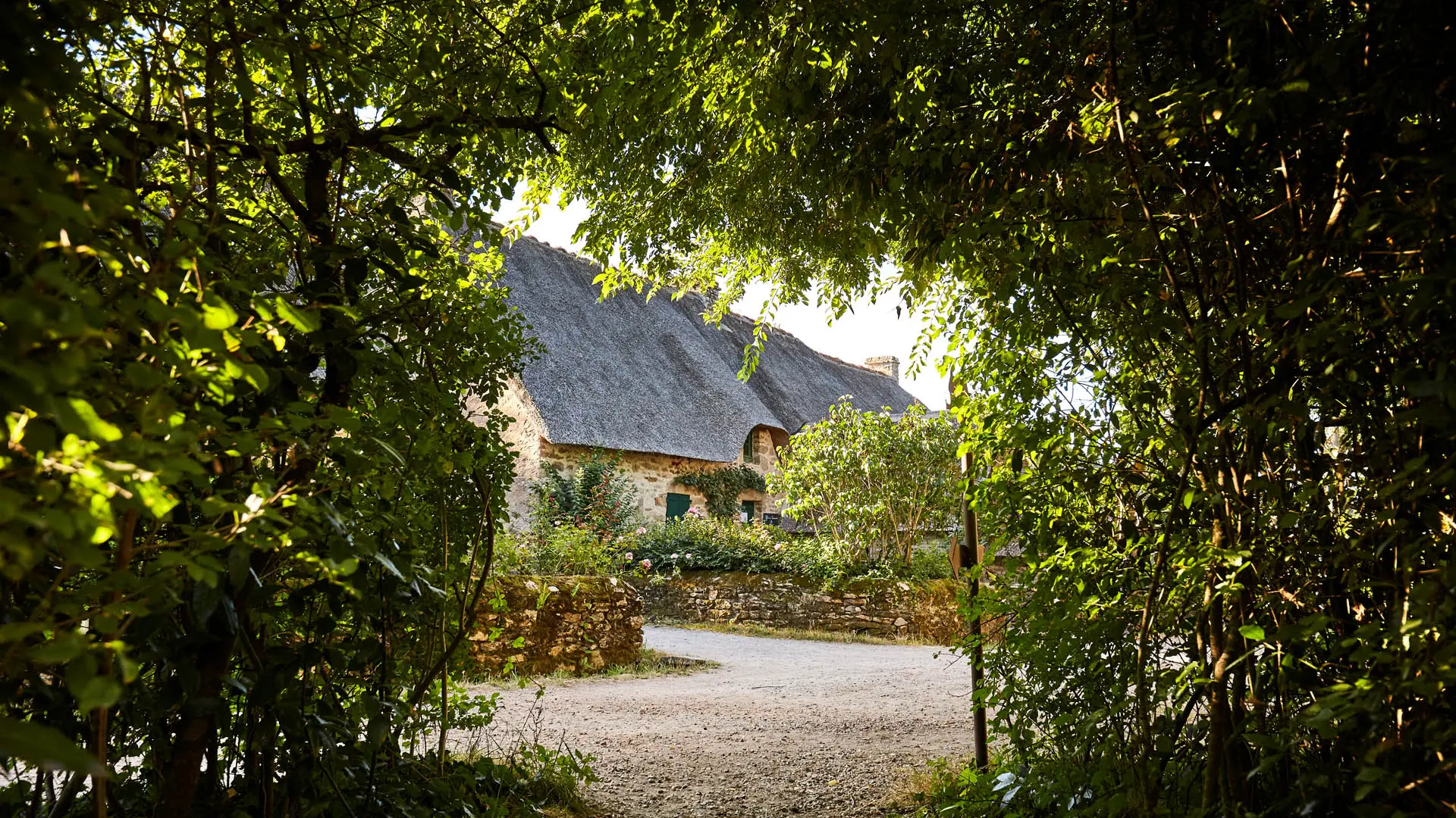
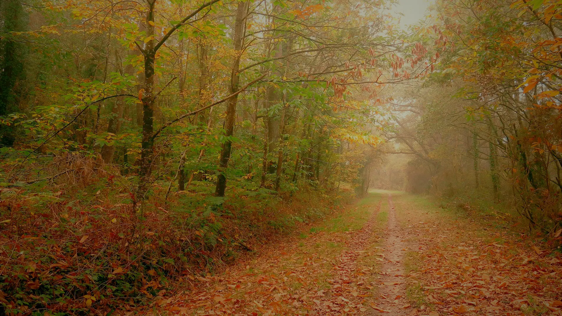
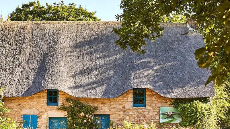
From every perspective, this route offers a true immersion in the atmosphere of the Brière. After exploring the traditional village of Kerhinet and its distinctive thatched cottages, discover the Faillies Brières marshes. The abundance of water has encouraged the development of lush natural surroundings, home to many plant and animal species, some of which are particularly rare. Typical villages and examples of local vernacular heritage can also be found along the route.
Starting point: Kerhinet village, Saint-Lyphard
Walk through the village of Kerhinet and take the opportunity to discover the traditional architecture of the Brière. At the end of the main lane, turn left, then take the first path on the right.
1- In the village of Kercradet, follow the road to the left until you reach the junction with the RD 51. Cross the road and continue straight ahead, then turn right towards the village of Kerlo. Continue straight on, keeping to the left.
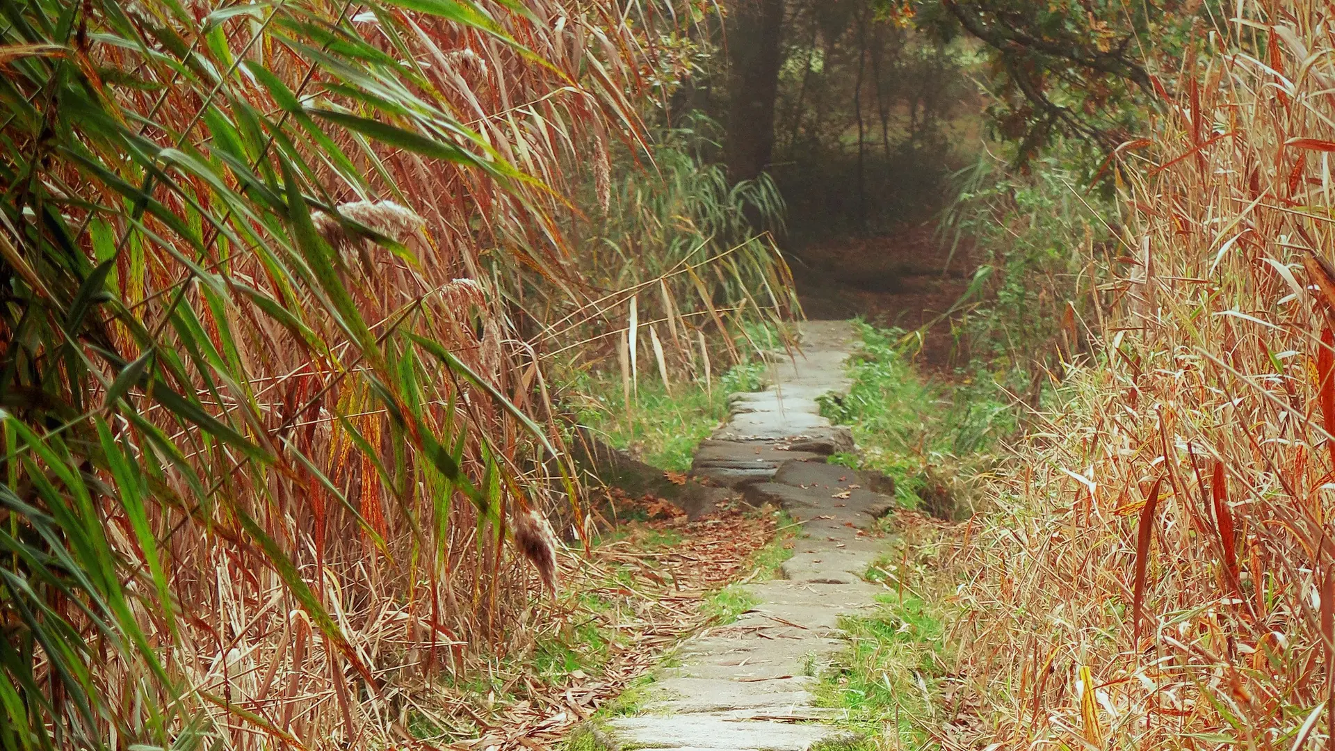
2- At the next junction, turn left onto the path and follow the edge of the Faillies Brières marshes. Despite covering a relatively small area, these marshes offer a remarkable concentration of the Brière’s characteristic plant landscapes and ecological features. Popular with several bird species, the area is also home to other remarkable wildlife, including the European otter. At the end of the Faillies, continue along the trail, then take the first path on the left. Carry on until you reach the village of Kertrait.
3- At the junction, turn left onto the RD 52. Take care and keep well to the roadside verge. After 800 metres, turn left and continue to the village of L’Éguignac, then turn left again. At the junction with the GR 3 long-distance hiking trail, which leads towards Guérande, continue alongside the Faillies, heading left. Please note that this path can become muddy after rainfall.
4- Continue for 400 metres, then turn left at the junction. Follow the Faillies Brières marshes once again until you reach the village of Gras.
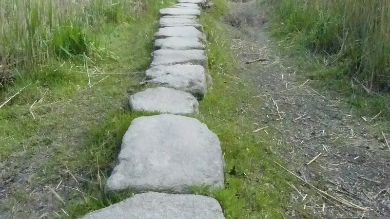
5- In the village, turn right, then immediately take the path on the left. Continue until you cross the Gras bridge, a remnant of the Gallo-Roman period. Please note that the bridge may be submerged during the winter. At the junction after the bridge, turn right, then right again at the fork, towards the village of Kerbourg. In the village, turn left towards the RD 51.
6- Cross the road and continue straight ahead, passing the Kerverné mill. At the fork, keep left to return to the village of Kerhinet.
To follow the route easily, you can download the GPX file associated with the trail. Then simply open it in a GPX-compatible app on your smartphone, such as OpenRunner, GPX Viewer or any similar application. Once the route has been loaded, you will be able to find your way throughout the walk, even without an internet connection.