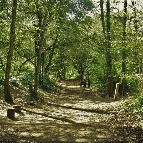
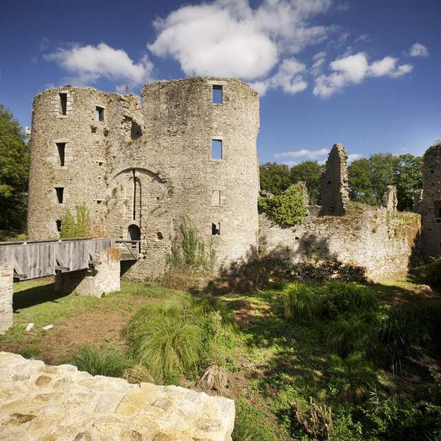
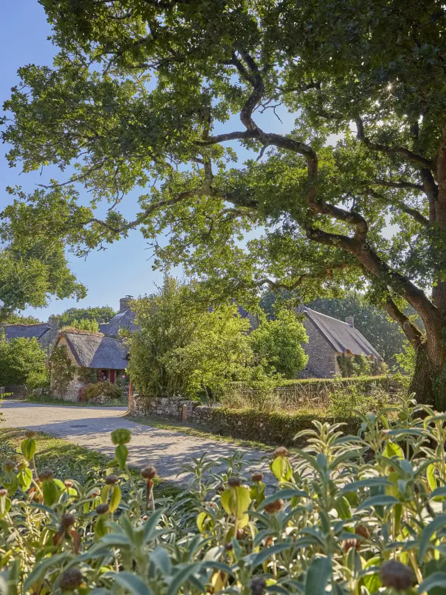
Hiking in AsséracWalks along the footpaths of Assérac
©Assérac - Hiking|Alexandre Lamoureux

La Baule-Presqu’île de Guérande on foot

Ajouter aux favoris

Hiking in La Baule – Guérande peninsula: sea, marshes, unspoilt nature and great itineraries. Find your ideal route and set off to explore!

Between ocean and marsh the Presqu'île on foot

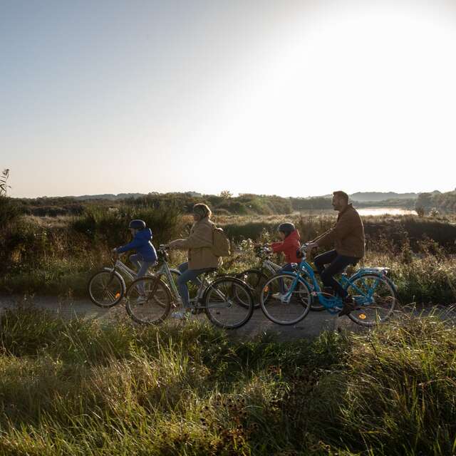
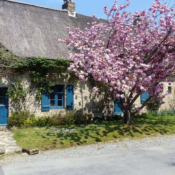
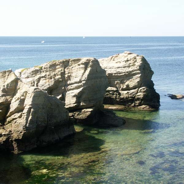
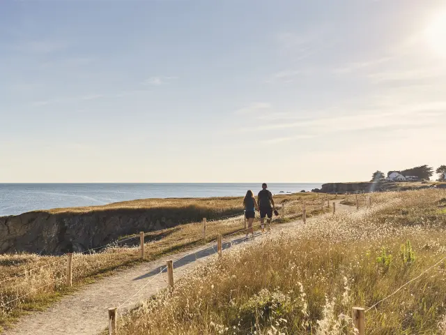
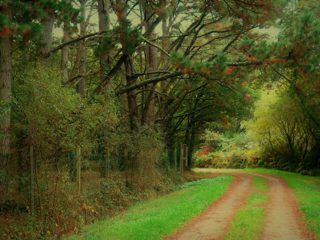
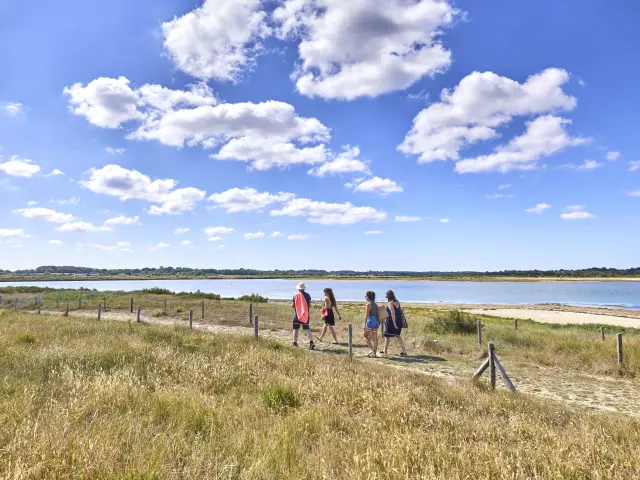
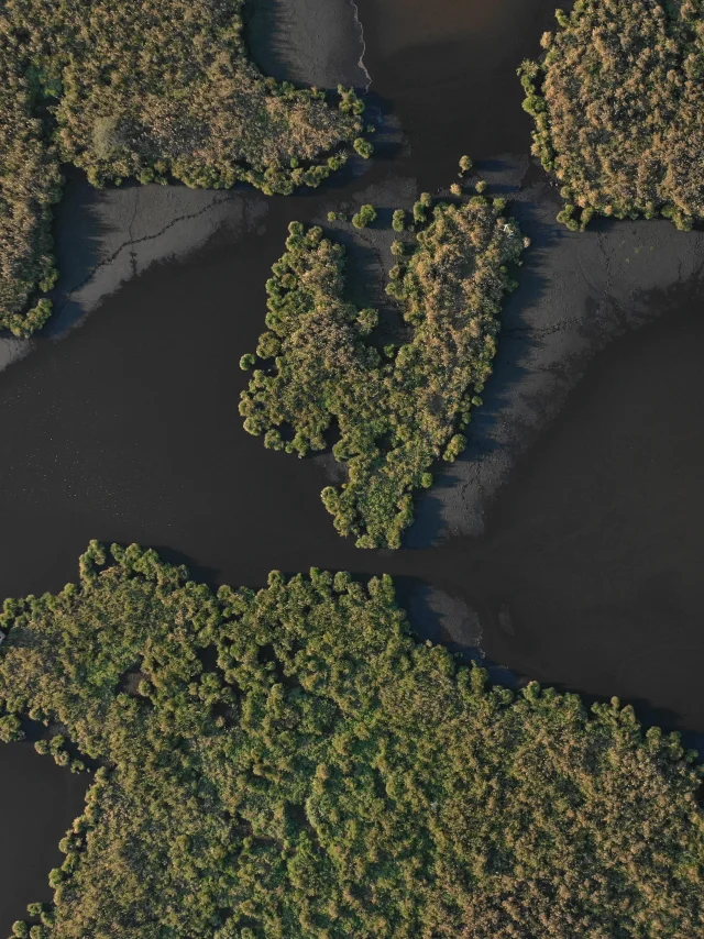
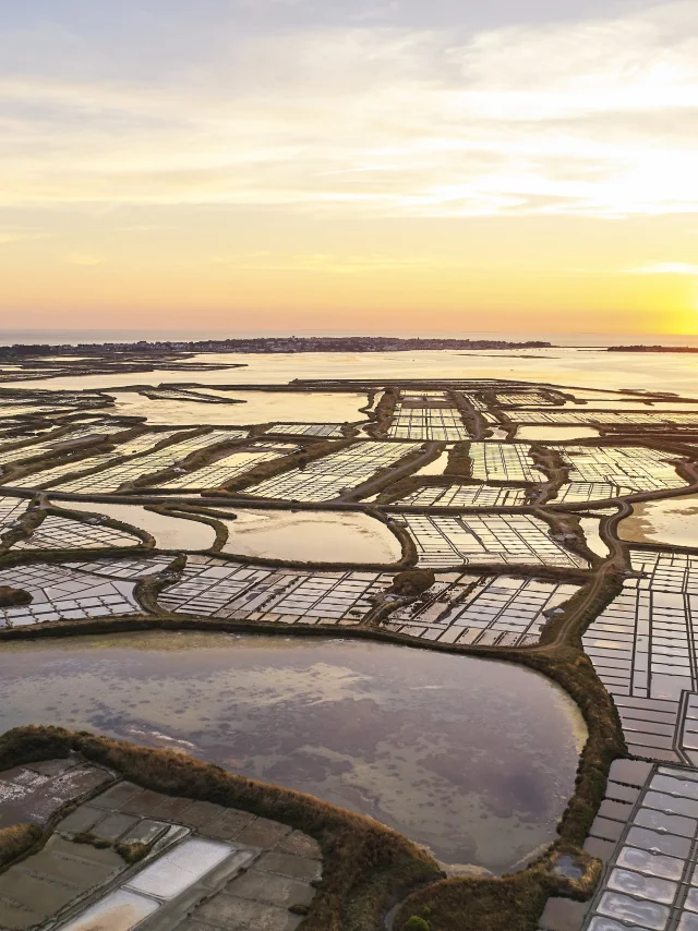
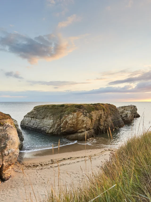
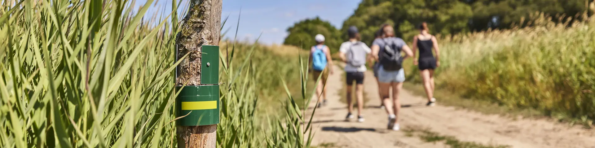
Here, you can enjoy hiking in all its glory, whatever the season. Between the Atlantic Ocean, the salt marshes and the Brière Regional Nature Park, the Guérande peninsula offers a concentration of spectacular landscapes.

One day, you’ll be cruising along the beaches against the waves; the next, you’ll be exploring the canals and meadows of the Brière region, or passing through villages steeped in history. With its iodised atmosphere, unspoilt nature and breathtaking panoramas, it’s an ideal playground for families, sports enthusiasts and beginners alike, with trails that make you want to walk, breathe and enjoy nature to the full.

Main routes to explore

The Guérande peninsula is criss-crossed by several emblematic GR® long-distance walking routes. Ready to discover some of them?

  • GR®34: the famous “sentier des douaniers” (customs officers’ trail), which runs for over 2,000 km along the coast of Brittany;
  • GR®39: crosses Upper Brittany from north to south, from Mont-Saint-Michel to Guérande;
  • GRP®: a loop route that circumnavigates the Brière Regional Nature Park;
  • GR®3: France’s first GR®, it follows the Loire from its source and finishes in La Baule.

Useful applications in your pocket

  • An app for downloading and reading GPX tracks
    Whether you’re a hiker, mountain biker or nature runner, GPX tracks allow you to follow a precise route directly from your smartphone or GPS. You can see the route, know the distance and not get lost, while discovering routes suited to your level. It’s a practical tool for exploring our landscapes in complete safety and making the most of the trails.
  • Suricate: signposting and preserving our walking sites
    Suricate is an application that allows everyone to contribute to the preservation of natural areas. The application makes it easy to report problems such as damaged paths, obstacles or damage. It’s aimed at all hikers, whatever their level or activity. Join the Nature Sports Sentinels community!

The right gestures during a hike

In the Presqu’île, certain areas such as the salt marshes, shellfish beds and Brière marshes, as well as certain fields, meadows and footpaths, are privately owned.

  • To take full advantage of the landscape while respecting the work of the salt marsh workers, shellfish farmers, farmers and breeders, it is advisable to stay on the signposted footpaths and observe the salt marshes or fields from a distance.
  • Everyone appreciates being considered: if you want to photograph people at work, ask for their permission. And to protect the peace and quiet of local residents, it’s best to be discreet when taking photos of houses.
  • Dogs are welcome, but keep them on a lead to avoid surprising other walkers or seeing them wandering into private areas.
  • To respect nature, stay on the marked paths to protect the vegetation and take your rubbish with you to dispose of in the appropriate containers.

From the Brière to the ocean

Explore the Guérande peninsula with the “From the Brière to the Ocean” map, available from tourist offices and online. It takes you on urban walks, coastal escapes, heritage discoveries and nature escapades… Slip it into your bag or consult it in advance to prepare for your next walk or hike.